UN
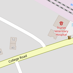
49a College Road
£ 177,500
Description
We don't have a Description for this property.
- Bedrooms
- 1
- Bathrooms
- 0
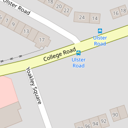
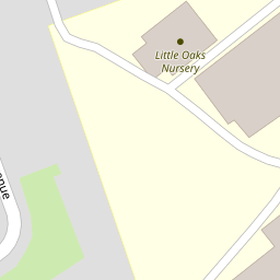

Leaflet © OpenStreetMap contributors
The heatmap indicates the level of crime in the area. The color of the heatmap indicates the crime severity and recency.
Metrics Year-on-Year
- Average area value
- 321,534.00 £Increased by 9.20 %
- Average area rental value
- 1,421.00 £/moIncreased by 42.81 %
- Est rental Yield
- 5.30 %Increased by 30.54 %
- Crime Rate
- 7.00 %Unchanged by 0.00 %
from 294,434.00 £
from 995.00 £/mo
from 4.06 %
from 7.00 %
Nearby Schools
| Name | Type | Ofsted | Distance |
|---|---|---|---|
| Salmestone Primary School | Academy Sponsor Led | Good | 0.50 KM |
| Six Bells Children'S Centre | Children's Centre | 0.67 KM | |
| Margate, Holy Trinity And St John'S Church Of England Primary School | Voluntary Controlled School | Good | 0.74 KM |
| St Gregory'S Catholic Primary School, Margate | Academy Converter | Good | 0.82 KM |
| Drapers Mills Primary Academy | Academy Sponsor Led | Good | 0.84 KM |
Images
Nearby Streets
| Name | Average Price | Average Sqft | Distance |
|---|---|---|---|
| Homestead Close | £ 0 | 0 | 0.00 KM |
| Addiscombe Gardens | £ 0 | 0 | 0.00 KM |
| Church Street | £ 0 | 0 | 0.00 KM |
| Rowe Close | £ 0 | 0 | 0.00 KM |
| Shakespeare Road | £ 0 | 0 | 0.00 KM |
Nearby Transport
| Name | NLC | TLC | Distance |
|---|---|---|---|
| Margate | 5018 | MAR | 1.71 KM |
| Ramsgate | 5023 | RAM | 4.82 KM |
| Westgate-On-Sea | 5195 | WGA | 5.28 KM |
| Broadstairs | 5006 | BSR | 5.64 KM |
| Dumpton Park | 5034 | DMP | 5.76 KM |
Nearby Listings
| Address | Price | Type | Score | Distance |
|---|---|---|---|---|
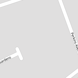
| Perkins Avenue, Margate, Kent | £ 325,000 | BUY | 5 / 10 | 0.04 KM |
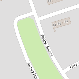
| Yoakley Square, Margate | £ 350,000 | BUY | 7 / 10 | 0.13 KM |
| Yoakley Square, Margate | £ 380,000 | BUY | 6 / 10 | 0.14 KM |
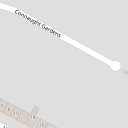
| Connaught Road, Margate, Kent | £ 400,000 | BUY | 7 / 10 | 0.17 KM |
| Connaught Road, Margate, Kent | £ 264,500 | BUY | 8 / 10 | 0.17 KM |
Nearby Properties
| Address | Price | Distance |
|---|---|---|
| 55 College Road | £ 182,500 | 0.00 KM |
| 75 College Road | £ 230,000 | 0.00 KM |
| 87 College Road | £ 347,500 | 0.00 KM |
| 81 College Road | £ 335,000 | 0.00 KM |
| 49a College Road | £ 177,500 | 0.00 KM |